Sensoar connects many areas of my life’s journey, my need for independent expression and control of
my ideas. My skills in electronics, modelling, software. And the arena of small business, where a
scattered mind can be a super power to keep the separate pillars spinning.
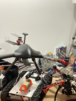
I’d been aware of drones for a few years without much interest. Looking for a new project after a home
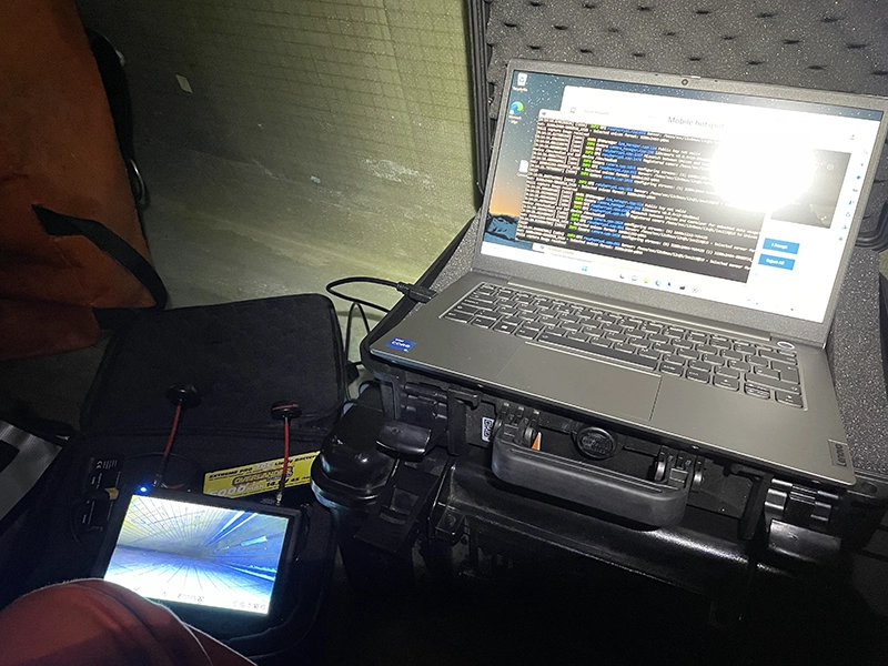
move with a little more space I decided to build an FPV drone. With my electronics and RC background I
found wonderful. Before long I had several drones I'd take to the local drone racing club. I also had
a larger drone with a GoPro for aerial photography. Drone racing was rather destructive with
weeknights spent making repairs and ordering new parts. I was beginning to get more drawn to aerial
photography and mapping. From here I decided to start Sky Tech Aerial and went on to open my first
office in Bo’ness. In 2016 DJI had not long release the Phantom series on drones. My intention has
been to build unique drones for the business for applications DJI drones could not do. In 2018 I met
my business partners. This was incredibly useful resource over the coming years to collaborate. In the
coming years the industry developed incredibly fast. Within 4 years we had moved from eight prop heavy
lift drones to take pictures to <249g DJI mini. This changed the commercial industry and the market
quickly became saturated with cheap drone operators. The majority of our first clients from film &
TV, local videographers to estate agents went on to buy their own drones. The business was forced to
diversify. This led me back into research and applying for grant funding for novel drone
applications. In 2020 I won a place in EIE20 pitching the idea of a long range wingcopter drone to
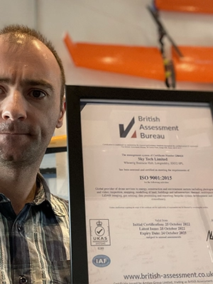
inspect offshore windfarms. I kept developing the business around the wind industry working on
windfarms, gaining ISO and Achilles certification for the business and continuing to apply for
funding. In 2024 the business rebranded to Sensoar with the focus on industrial asset inspection and
survey using drones.